
The Story
How it began
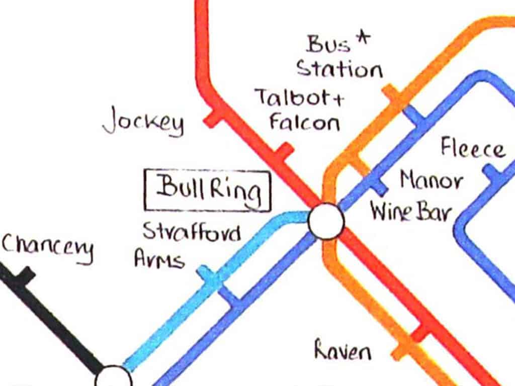
I’ve always liked the design of the London Underground map. It’s clean, functional, interesting and colourful. I did an Art Foundation course at Wakefield College, specialising in Graphic Design, and in the mid-90s I saw a hand-drawn diagram of Wakefield pubs in the style of Harry Beck on the wall of the Tut ’n’ Shive near the market. The pub and the market are long gone, but the idea stuck with me.
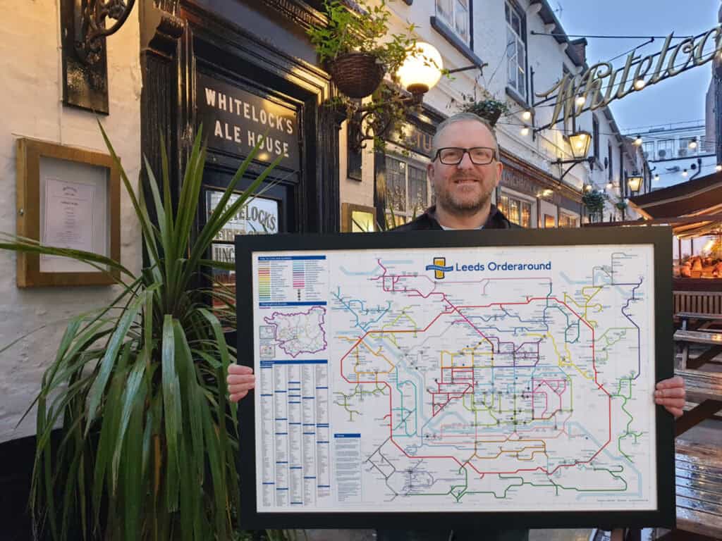
In 2007 I began work on my own map of Leeds.
Expansion
What began as a personal challenge eventually grew into a project that kept getting bigger.
I didn’t set out with a long-term plan, but each version led to the next, and the method gradually became its own thing. Orderaround began as a personal project, but by the time the first one was done, I had a feeling that other people would also like to see it and own it.
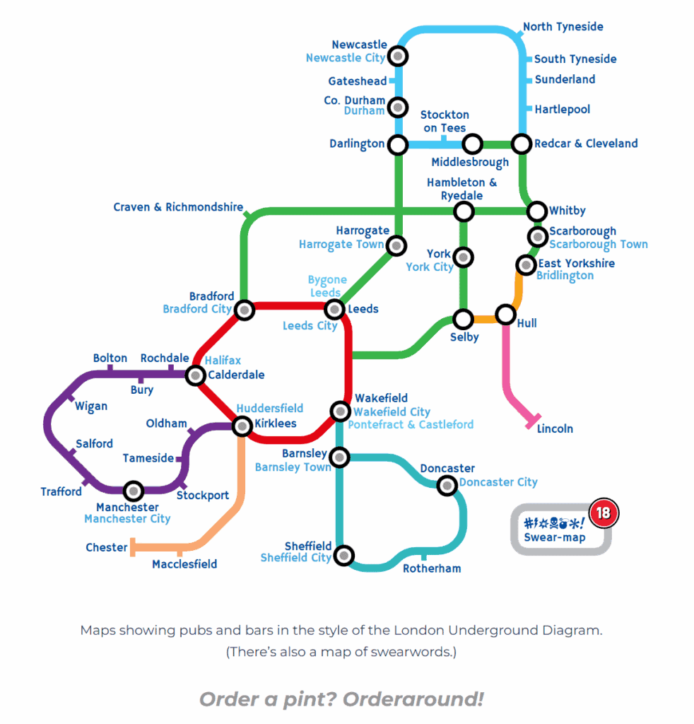
Of course, Leeds had to be the first place. It was soon followed by Wakefield, as I went drinking there more than Leeds in my early days. After that, I felt I needed to complete the other boroughs of West Yorkshire, so I carried on with Bradford, Kirklees and Calderdale, even though they were no longer places I felt a strong connection with.
Today
The series has since covered entire cities, counties and regions.
The following pages go into the different parts of the project and the work behind them.
Next: Creating a map